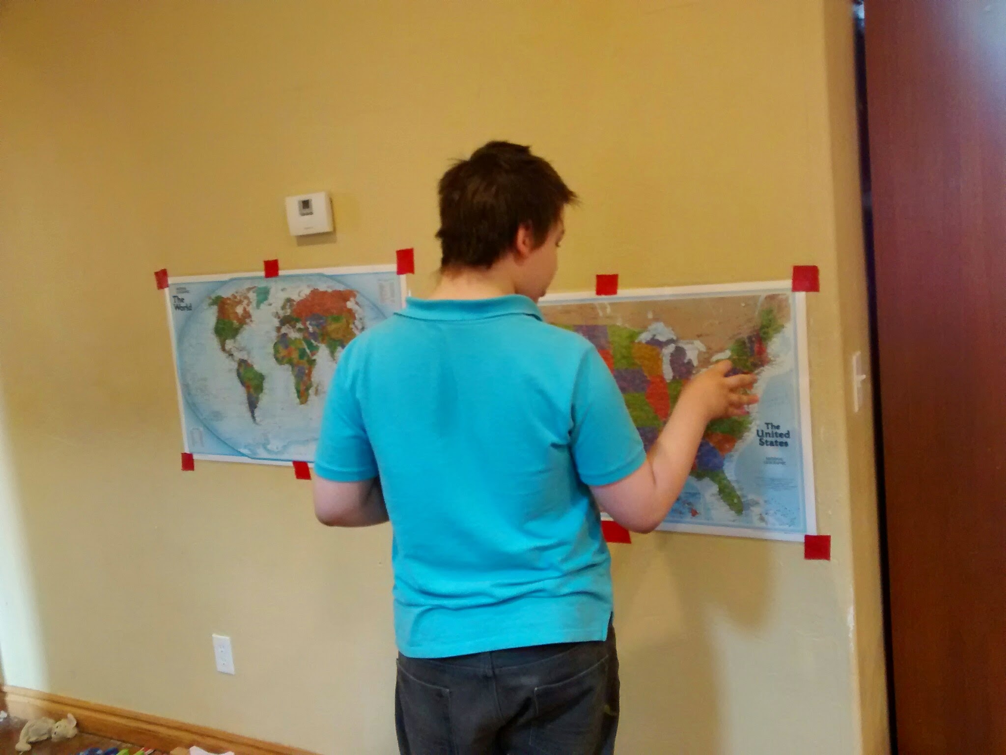
Homeschoolers always have a map on the wall. We haven’t put one up in this particular house… until this morning! I realized a while back that some of my kids have no concept of nonlocal distance or political boundaries (or time, beyond an hour or less, but that’s for another day.) Homeschooling for so many years and so many ages means getting to do things again and again. Faith and Abby went through this years ago, and Bede, but now Gilbert, Trixie and Gloria are getting up to speed.
So I bought us a couple maps: a world map and a United States map. They’re both laminated, so I also got some Vis-a-Vis wet erase markers – the kind teachers use on overhead transparency film. The plastic is very smooth and will make using the markers a breeze. They’re good maps. The world map is the same size as the US map, which makes it a little small in my opinion, but the US map is about right.
Above, Bede telling me where New York is. Doesn’t the red duct tape just make the whole thing pop! Ha, ha. I’ll put it up with a better method; this was just because the kids wanted them up today, now, this very minute.
Those show the scale pretty well, I think. Bede is the size of a smallish adult.
The map purchase necessitated deciding what projection I wanted. Now, I favor the Robinson projection (no surprise there!) but this one is Winkel-Tripel, which is okay, I guess. (squints) It will do for now.
Ahem.

